A Route 66 road trip runs from Chicago to Santa Monica, covering a historic 2,448 miles (3,940 km) across eight states. Plan around two weeks if you want time for stops: at 250 miles per driving day, the distance alone takes about 10 days, before rest days and detours.
Where does Route 66 start and end?
In Chicago, look for the “Begin Historic Route 66” sign on Adams Street just past Michigan Avenue. The original 1926 eastern endpoint was at Jackson Boulevard and Michigan Avenue in Grant Park. The sign is a practical starting point, while the original intersection marks the route's early history. Wikivoyage describes the sign, and Wikipedia records the original endpoint.
At the other end, the Route 66 sign on Santa Monica Pier marks a symbolic finish. The official western endpoint was nine blocks east of the pier. Santa Monica is next to Los Angeles, so allow time there if you want to finish at the water.
The 8 states and how far you drive in each
The table is a route overview, not a turn-by-turn map. These are the 1926 mileages, rounded to the nearest kilometer. Later changes to the road and your own detours mean your actual distances will differ. An alignment is simply a particular version of the road's path; Route 66 had more than one over its history.
| State, east to west | 1926 miles | Approx. km |
|---|---|---|
| Illinois | 301 | 484 |
| Missouri | 317 | 510 |
| Kansas | 13 | 21 |
| Oklahoma | 432 | 695 |
| Texas | 186 | 299 |
| New Mexico | 487 | 784 |
| Arizona | 401 | 645 |
| California | 316 | 509 |
The eight state figures in the same 1926 table add up to 2,453 miles, while Wikipedia gives the route’s length as 2,448 miles (3,940 km).
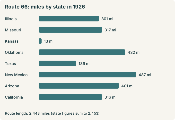
Source: Wikipedia, 1926 alignment mileages. Kilometer figures are rounded.
For navigation, use a detailed route description or map set as well as this overview. Decide which historic alignment you want to follow before setting each day's destination.
How many days do you need?
Own calculation: divide 2,448 miles by your planned miles per driving day, then round to a useful whole-day estimate. These figures cover the historic distance only, not extra miles to hotels, parks or other detours.
| Miles per driving day | Approximate driving days |
|---|---|
| 200 | 12 |
| 250 | 10 |
| 300 | 8 |
| 350 | 7 |
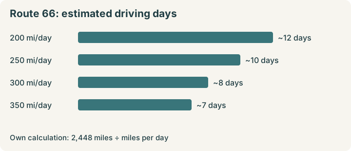
Own calculation: 2,448 miles divided by miles per driving day, rounded.
At 250 miles a day, the estimate is roughly 10 driving days. Around two weeks gives you room to add time for cities, parks and rest. Your actual schedule depends on the roads and stops you choose. Wikivoyage's itinerary divides the trip into nine days; use it as a framework, then add nights where you want more time.
A simple day-by-day outline
This follows Wikivoyage's nine-day westbound outline. Each destination is an overnight stop except Santa Monica, the finish.
- Chicago to Springfield, Illinois: Start in Chicago and cross Illinois.
- Springfield, Illinois, to St. Louis: Continue into Missouri.
- St. Louis to Springfield, Missouri: Cross more of Missouri.
- Springfield, Missouri, to Oklahoma City: Pass through Kansas and into Oklahoma.
- Oklahoma City to Amarillo: Continue west into Texas.
- Amarillo to Albuquerque: Travel into New Mexico.
- Albuquerque to Flagstaff: Continue into Arizona.
- Flagstaff to Barstow: Head west into California.
- Barstow to Santa Monica: Finish at the Pacific coast.
This is a driving outline, not a fixed reservation plan. Add a night before a city or park visit if you want a full day there. A Santa Fe loop follows an older path of Route 66; decide whether to include it when planning New Mexico.
National park sites on or near Route 66
The National Park Service (NPS) list identifies sites within 30 miles of the route. Its asterisk marks sites on or visible from the road. These six give you places to investigate as you choose your stops:
- Pullman National Monument, Illinois.
- Gateway Arch National Park, Missouri.
- Oklahoma City National Memorial, Oklahoma.
- Petroglyph National Monument, New Mexico.
- Petrified Forest National Park, Arizona.
- Mojave National Preserve, California.
NPS also lists Grand Canyon within 100 miles of Route 66, so it needs extra time as a detour. Non-US residents aged 16 and older face a nonresident fee there; see our nonresident fee guide for the rules and pass options. For a different park-focused route, see the national parks road trip.
For historic places beyond park sites, the NPS Travel Route 66 itinerary highlights more than 100 of the route's 250-plus places on the National Register, a federal list of historic places worth preserving. Check individual site information before adding a stop.
Before you go: practical tips
- Carry route directions. Historic signs may be missing. Download a turn-by-turn description or bring a map set; historic66.com and the “Here it is!” maps are options mentioned by Wikivoyage.
- Choose your route version. Route 66 changed over time. The Santa Fe loop was bypassed in 1937, so a guide may offer a choice between earlier and later roads.
- Plan fuel in the west. Stations can be as much as 100 miles apart in the western half, and repairs can be hard to find. Fill up before a long remote stretch and check your vehicle before leaving.
- Plan charging stops. Charging points are less common in the west. If driving an electric vehicle, check your route and alternatives before each long leg.
- Prepare for desert heat. Summer heat makes working air conditioning useful. Carry water and check conditions before setting out.
- Reserve key nights. Wikivoyage recommends booking ahead in Flagstaff and Santa Fe. Albuquerque can be especially busy during the International Balloon Fiesta in early October, so check your dates before making that stop.
Why 2026 is a special year
Route 66 turns 100 in 2026, the same year as the 250th anniversary of the United States. NPS marks the centennial through its Route 66 preservation program. The US Postal Service issued centennial stamps, and a time capsule was placed in Springfield, Missouri, on November 11, 2026. Check local plans if you are organizing a centennial-themed trip.
A short history in five facts
- Route 66 was established on November 11, 1926.
- The whole route was paved by 1938.
- Five interstates replaced it: I-55, I-44, I-40, I-15 and I-10.
- The last section was bypassed by I-40 in 1984.
- The highway was decommissioned in 1985: it lost its official US highway designation. Some sections are now part of the Historic Route 66 National Scenic Byway, a designated route recognized for its special qualities.
Frequently asked questions
Where does Route 66 start and end?
The historic route ran from Chicago, Illinois, to Santa Monica, California. The Santa Monica Pier sign marks a symbolic end; the official western endpoint was nine blocks east.
How long is Route 66?
The historic route measured 2,448 miles, or about 3,940 kilometers. Your actual driving distance will vary with your chosen route and detours.
How many days does it take to drive Route 66?
As a planning estimate, 2,448 miles at 250 miles per driving day takes about 10 driving days. Add days for cities, parks and rest; around two weeks is a useful starting point.
Can you still drive Route 66?
You can drive surviving sections, but Route 66 is no longer a continuous numbered US highway. Use a detailed route guide and expect to connect some sections by interstate.
Which states does Route 66 go through?
From east to west, the eight states are Illinois, Missouri, Kansas, Oklahoma, Texas, New Mexico, Arizona and California.
Choose your daily distance, then add the places where you want to stay longer. For a different coast-to-coast route, compare the 10-day New York to Los Angeles itinerary.
Facts checked against NPS and Wikipedia sources on November 21, 2026.
Sources & References
This article is based on first-hand experience and verified with the following official sources:

Go2USA Editorial Team
Exploring the USA since 2023 | All 50 states covered | Updated monthly
We are a team of travel writers and American travel enthusiasts who explore the country year-round. Our guides are based on first-hand experience, local knowledge, and verified official sources.
More about us →People Also Read
National Park Nonresident Fee: 2026 Guide
Nonresidents pay $100 per person 16+ at 11 parks, plus the entrance fee. Compare group costs and see when the $250 Non-Resident Annual Pass pays off.
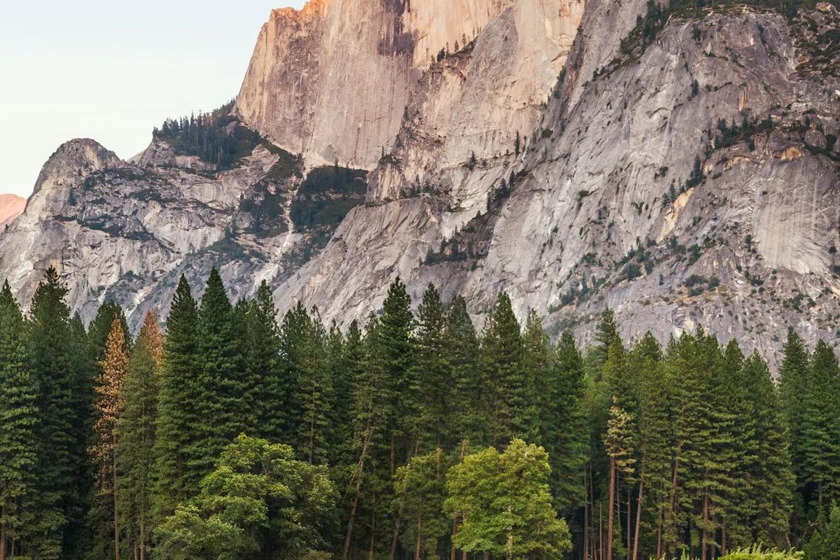
The Ultimate National Parks Road Trip: How to Plan an Epic American Adventure
Plan the perfect national parks road trip across the United States with our complete guide to route planning, the best parks to combine, camping versus lodges, seasonal timing, and realistic cost breakdowns.
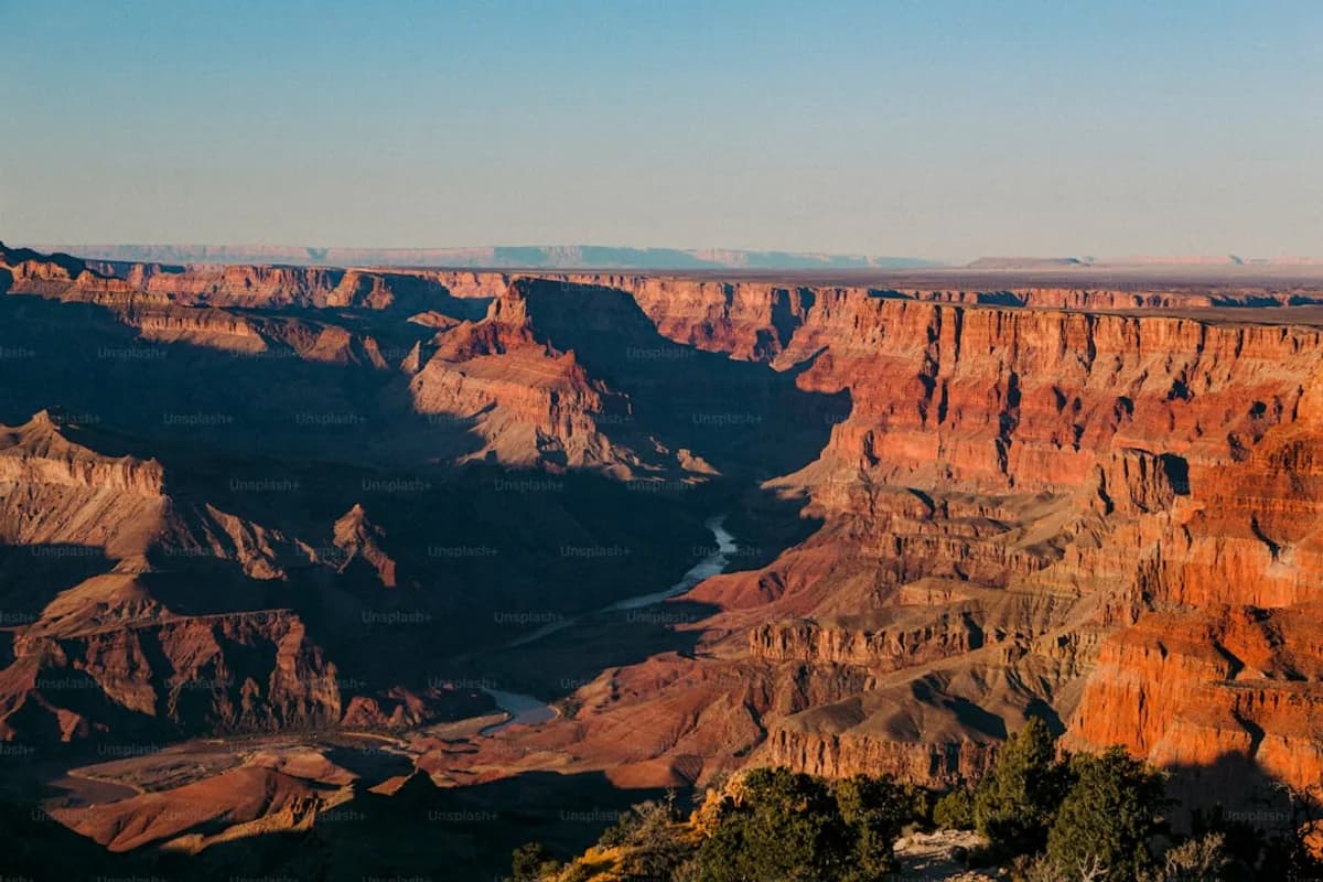
USA National Parks Guide: The Top 12 Parks to Visit
America's national parks are called 'the best idea America ever had.' This guide covers the top 12 national parks — from the Grand Canyon and Yellowstone to Zion and the Great Smoky Mountains — with everything you need to plan your visit.
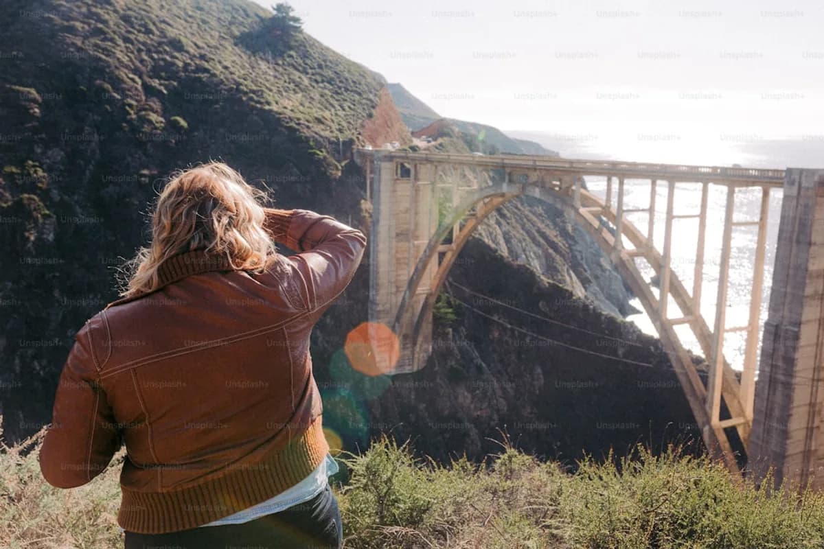
California Road Trip Itinerary: Pacific Coast Highway and Beyond
The ultimate California road trip — drive the legendary Pacific Coast Highway from San Francisco to Los Angeles, with detours into wine country, Big Sur, and the national parks of the Sierra Nevada. A complete 10-14 day itinerary.
Plan Your USA Trip
Book hotels, transport, activities, and get connected with an eSIM
Some links are affiliate links. We may earn a commission at no extra cost to you.